

Cranking Up The Kank
/
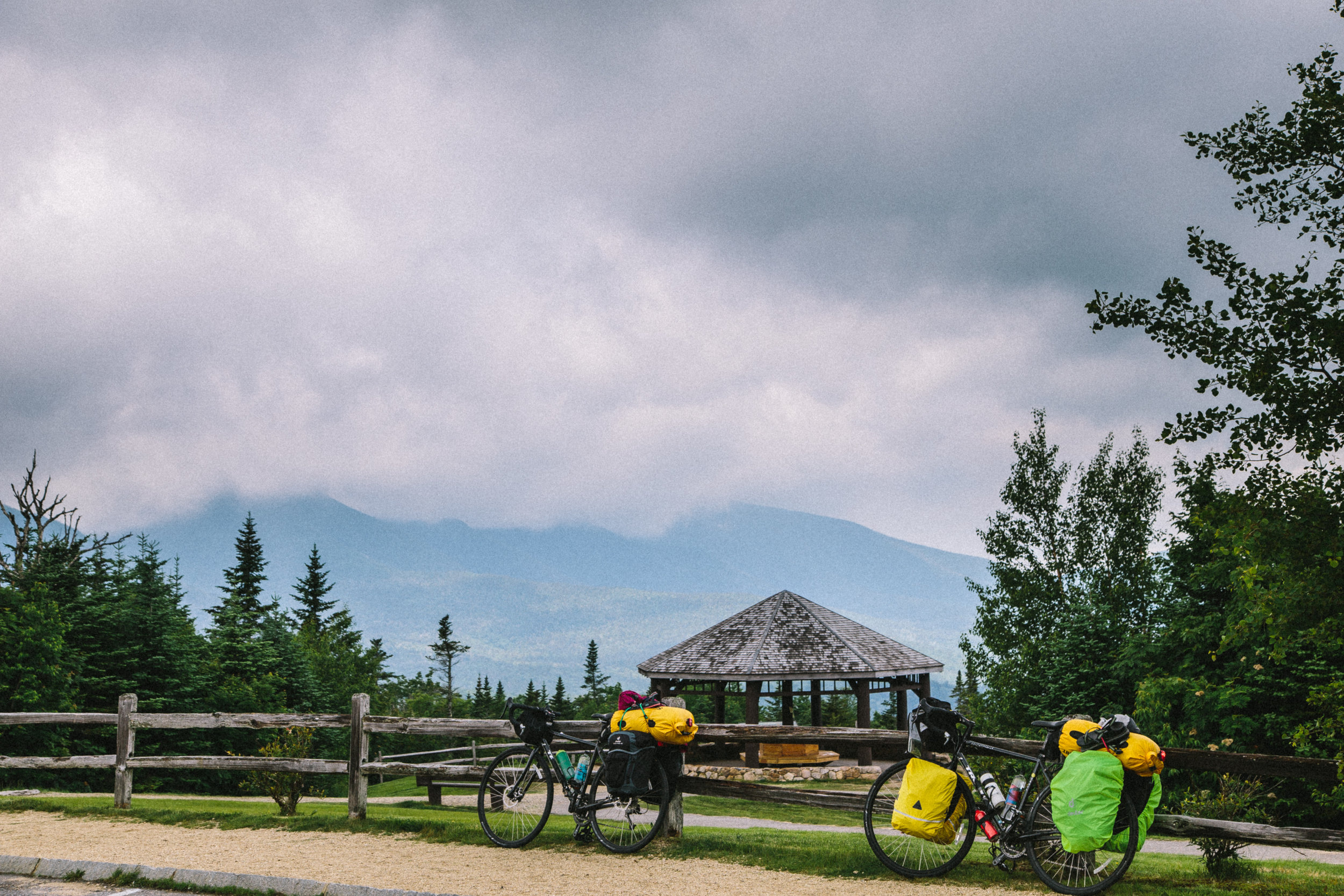
We worked around Black Mountain (pictured here) and we began to ascend into Kancamagus Pass. Lincoln, NH
M
Our maps have an elevation profile. This profile is a guide that answers how long, how high, and how much suffering climbs will bring you. Some climbs are less than a 100 feet. Others are over 2,000. And the mother of all hills for our route is Kancamagus Pass.
Kancamagus Pass is 2,855 feet high and while that may not seems like much, it shot up in our elevation profile and has kept us wondering for the last week or so, “Can a couple of kids from the flat Midwest handle this?”

Our maps are provided by the Adventure Cycling Association. They are absolutely fantastic! I would estimate we've used them exclusively for 85% of our route and in areas where signal service is lost for the iPhones, there is something reassuring about having a paper map to guide you.
The short answer:
We utterly obliterated Kancamagus. Like the Patriots playing the Falcons in the Superbowl, we climbed Kancamagus and left it whimpering behind us. And we pushed hard on the Kank. Joelle pedaled up Kank faster than Chuck Norris could pedal down it. And when we were done with it… well let me put it this way…the Zune music player has better feelings about the iPod than the Kank has about the Hancocks.
Joelle accuses me of exaggerating when I write. So in order to clear my good name, I’ll tell you the real story. We got up early, pedaled uphill for a long time, took in the view from the top, and then scooted our way down. For being the highest point on our route, it was one of the easiest climbs we’ve done this trip.
The rest of the day found us wandering through Eastern New Hampshire and crossing the border into Maine.

We made it up the pass! Final elevation, 2,855 ft. Kancamagus Pass, NH
Yup. Those two bicycles and our massive thigh muscles powered our way to the top. Kancamagus Pass, NH
That almost feels strange to write. Maine. We’re in Maine. It still hasn’t sunk in.
When we got to our campsite that night, there were mosquitos the size of Tie Fighters and enough daylight left in the day to push on. We told the camp owners we’re were blowing their popsicle stand and pushing on further.
Four miles from our lodging last night, we hit a rain storm, and it was awesome. Hot, sore bodies got drenched and we laughed, took selfies, and had the time of our lives. We were biking through Maine in a rainstorm. Does it get any better?

We stopped to take photos in the rain. It was up there as one of the most joyful moments of the trip. Bridgton, ME
Today wasn’t as pleasant. High humidity and steep “up, downs” made for a slow pace and grueling day. But hey, we’re still biking through Maine.
We’re in Brunswick tonight and tomorrow we turn north and will get our first view of the ocean. If weather holds, we’ll be in Bar Harbor for the Fourth. Which is exciting because I hear Bar Harbor has a pretty spectacular Fourth celebration.
But even if it isn’t, we’ll still have biked to Maine and that is amazing enough for me.
Yesterday’s Stats:
Left: Lincoln, NH, 8:00 am
Sleeping in: a motel in Bridgton, ME
Total mileage: 66 miles
High Speed: 34.4 mph
Avg. Speed: 10.3 mph
Overall weather conditions: sunny, then rainy
Elevation Gain: 3,158 ft
Elevation Loss: 3,534 ft
Total Trip mileage: 1341.4 miles
Today’s Stats:
Left: Bridgton, NH, 9:30 am
Sleeping in: a hotel in Brunswick, ME, arrived 5:00 pm
Total mileage: 49.73 miles
High Speed: 37.4 mph
Avg. Speed: 9.8 mph
Overall weather conditions: humid like football locker room in a thunderstorm
Elevation Gain: 2,089 ft
Elevation Loss: 2,491 ft
Total Trip mileage: 1,391.1 miles